|
Trip Reports |
||
|
5-22-16 Smoky Mountains 2016 2,230 Miles |
||
|
|
||
|
Some of you may have seen in my other trip reports or photos that I
usually take at least one decent motorcycle trip a year. A friend and
co-worker, Alan, joins me on most of the trips. This year we decided to
go back down to the Great Smokie Mountains area again. We took a trip
down there three years ago and really enjoyed the scenery and the
excellent roads they have. Here is the trip report from when we were there in 2013. This was the first major trip that Alan had done with his Suzuki VStrom, our last trip to Mount Washington didn't go so well for him. His BMW blew its drive shaft, making him have to use a rental car for the rest of the trip. This year both our VStroms performed perfectly without so much as a hickup. 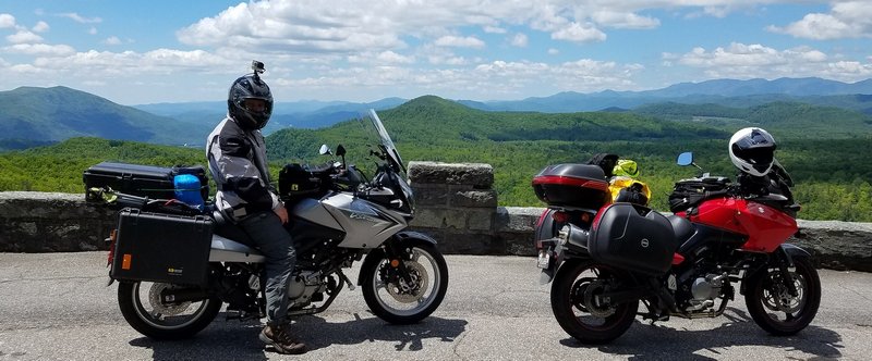 Most of the time we over plan our trips, we like to be prepared and really have a good idea of what we will be doing each day. This time we decided to leave things alot more open and just do things a bit more spontaneous, and it worked out really well. We had a few places we knew we wanted to visit, but other than that we knew we wanted to do alot of riding since there are so many fantastic and fun roads down that way. I am sure I will forget a few things, and I might even have some of the days mixed up, they tend to start blending together, but I will try to mention most the things we did and saw. I can definitely say that I saw some of the best views I have seen in my life on this trip, between the Blue Ridge Parkway and the mountain tops we visited. Here is a link to the PHOTOS from the trip. Here are the GPS Trip Logs for each day. Complete Trip Log Day 1 Day 2 Day 3 Day 4 Day 5 Day 6 Day 7 Day 8 Here is a list of some of the places we visited. Blue Ridge Parkway Brasstown Bald Mountain Dry Falls Laurel Falls Joyce Kilmer Memorial Forest Mount Mitchell Chimney Tops Water Rock Knob Tail of the Dragon Wheels Through Time Museum Blue Bear Mountain Campground Flaming Arrow Campground Wild Woodys Campground and Antiques Day 1 - 5-22-16 We got a pretty early start and started making our way down south staying off the highway as much as we could and still make good time. Once we made it to southern VA and into NC the scenery started to really look great on some of the roads we were on. We made it just north of Boone, NC and stayed at a campground on Blue Bear Mountain. Not too bad of a place, you got a basic spot with a picnic table. There was also a large tee pee that you could rent, but when we got there it was almost dark and no one was there. We setup our tent just in time to take shelter from a light rain that night. 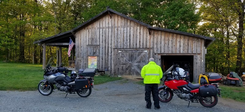 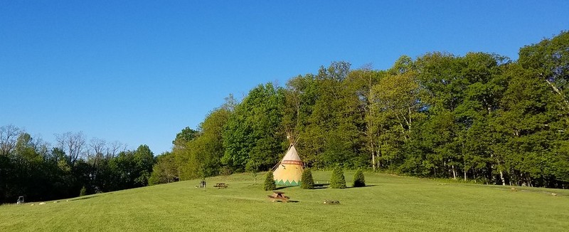 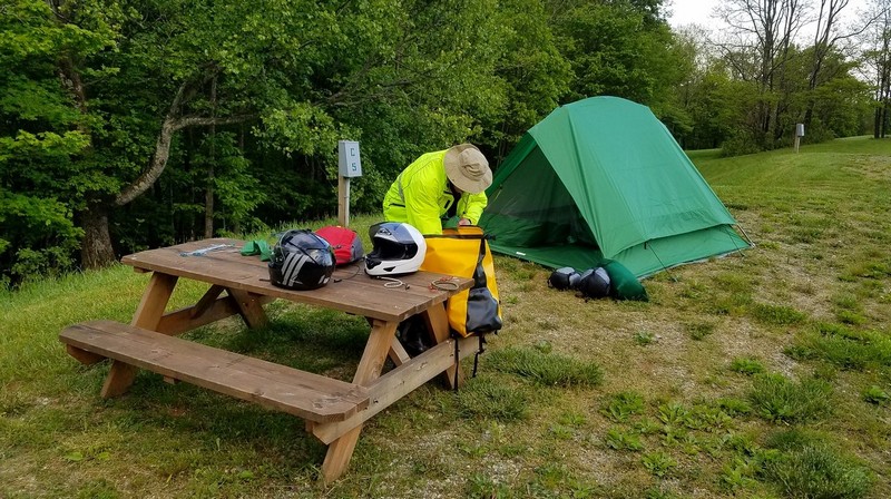 Day 2 - 5-23-16 Today we took the Blue Ridge Parkway from Boone, NC to Asheville, NC. most of the Blue Ridge is very scenic, on our way back on the finial day we completed all 469 miles of it. Definitely worth doing if you are in the area. But the section near Boone is especially breathtaking. You have got to be able to see a good 50 miles on a clear day. It was really neat to see the the parkway snake its way in the distance through the rolling mountains. Truly one of the best views I have seen, like always, the photos do not do any of it justice. Make sure to take a look at my full gallery from the trip for all the photos, here is a small taste of what it looks like.  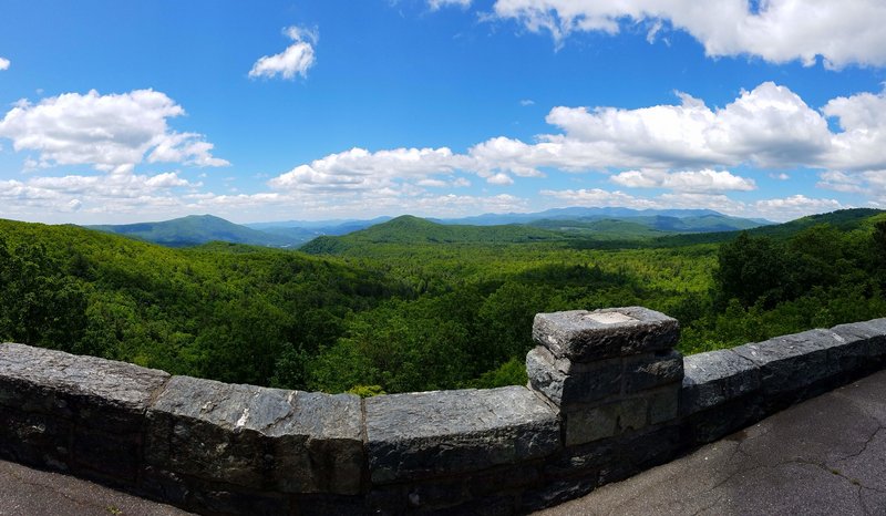 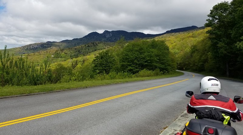 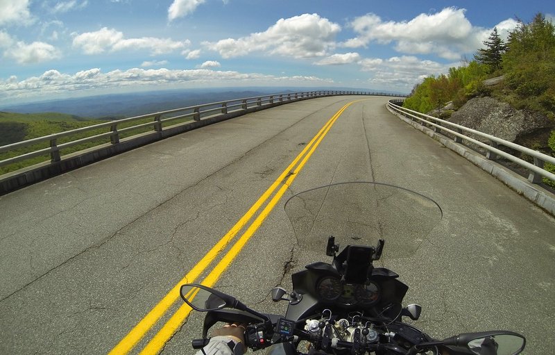 We have a habit of adding things to our day as we go and ending up making for long days getting back to camp late, we say we don't take vacations, we take adventures. Something we kept adding to this trip was visiting the highest point in the states we were in. We visited the highest points in TN, NC, SC, and GA. For NC this was Mount Mitchell, which is also the highest point east of the Mississippi at 6,684 feet. As you might imagine, the view from the top was amazing. 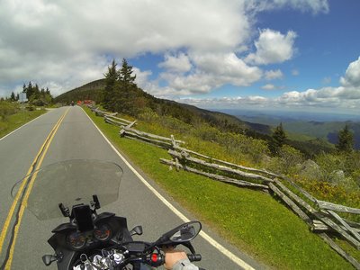 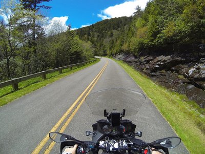 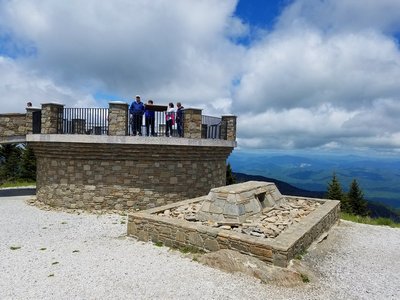 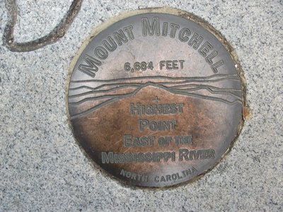  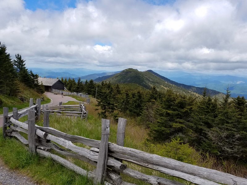 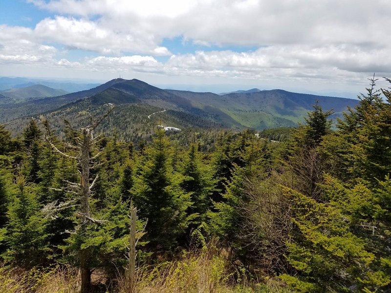 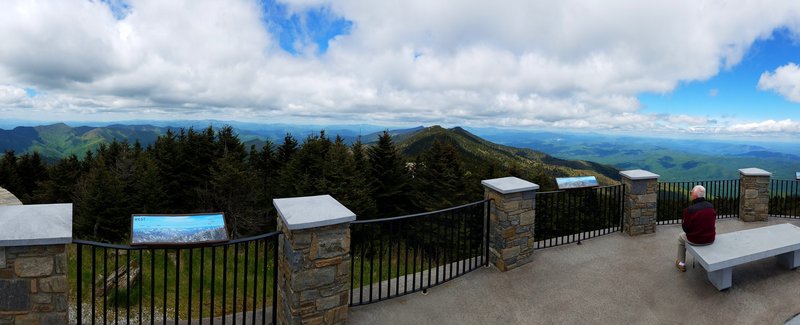 We stopped by a couple campgrounds near Cherokee, NC but we weren't impressed with them at all, felt like a trashy trailer park. Then we stopped by Flaming Arrow Campground and were very happy with both the owner and the accommodation's. We stayed here five nights during our trip since it was located in the heart of the areas we wanted to see during this trip. Our campsite even had a pavilion cover and picnic table. It was nice to have camp and the bikes under cover. 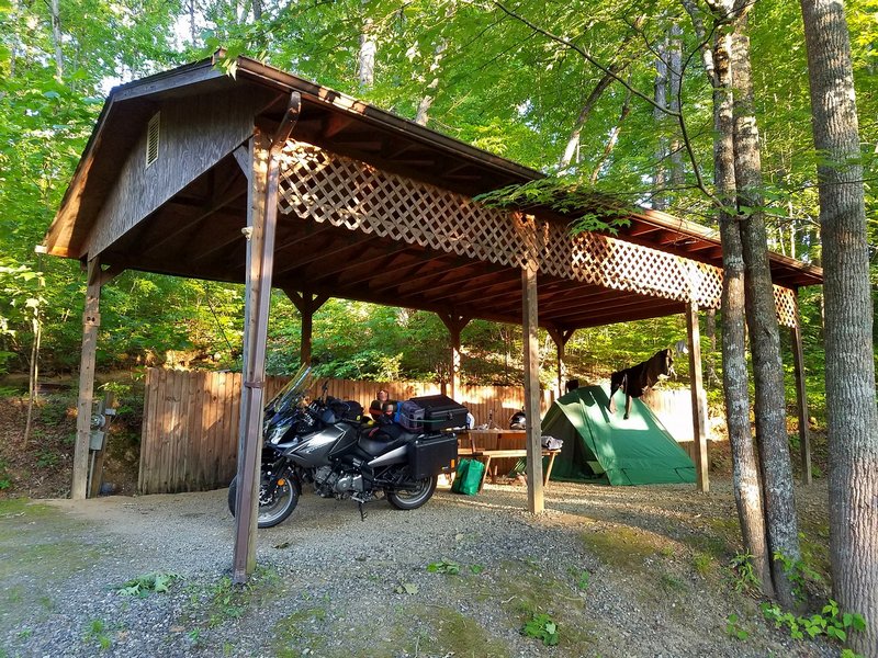 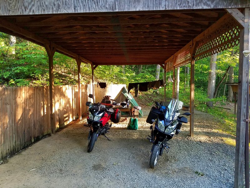 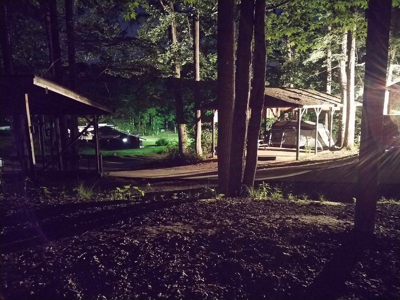 Day 3 - 5-24-16 The day started out a bit hazy so when we got to the parking lot at Clingmans Dome we decided not to take the hike from the parking lot to the observation deck on the top of the mountain. We had been there on our last trip anyway, and wanted to make sure we had time for the other spots we wanted to see today. Still a fun ride up and back down the mountain, so wasn't a total loss. Our next destination for the day was Laurel Falls. This was our first real encounter with alot of traffic and tourist on the trip. We did this trip the week before a holiday week, so it could have been worse, but in certain areas that are near the tourist trap towns, you will encounter alot of people. Once we found a place to park it was a decent hike up to the falls. Nothing too amazing, but still worth the trip and it was nice to get off the bikes for a while. It was a bit of a challenge trying to get any photos without people standing in the way. 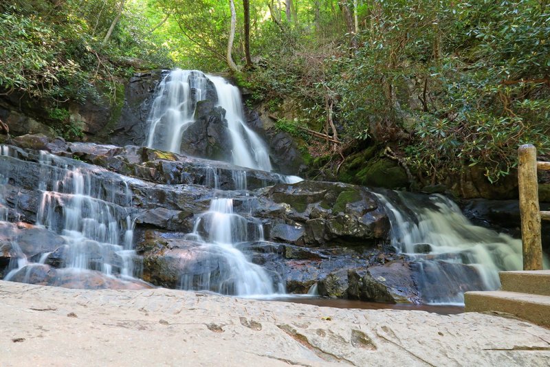 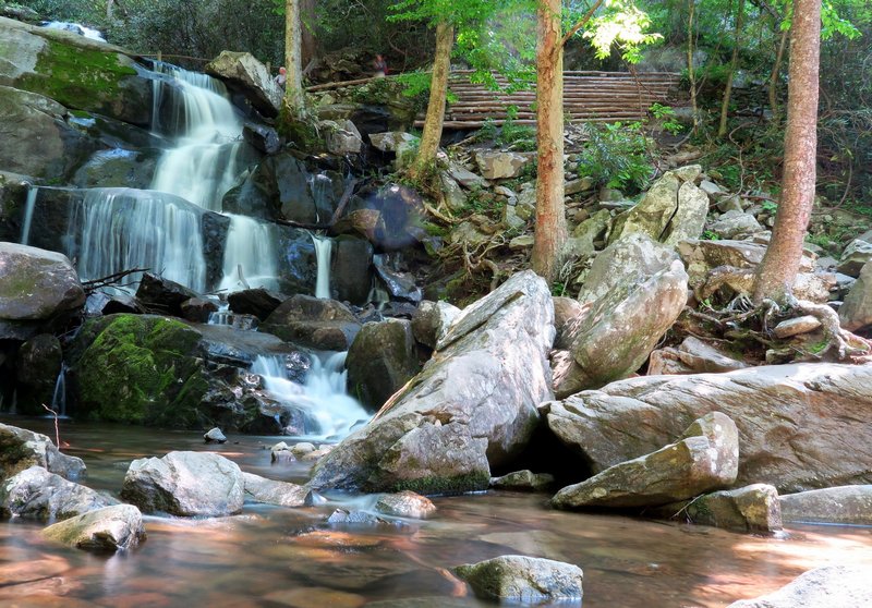 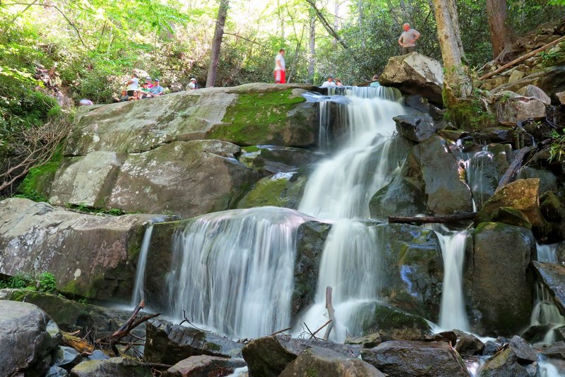 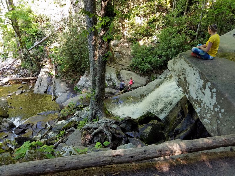 Next we visited Chimney Tops (not to be confused with Chimney Rock State Park), which was a bit more of a hike. Its pretty impressive though the amount of work that alot of the parks put into walkways and stairs on these trails. Some are made from large stones, others are laid out with logs. In ways it makes some of the terrain easier to hike, but can be hard on your knees. 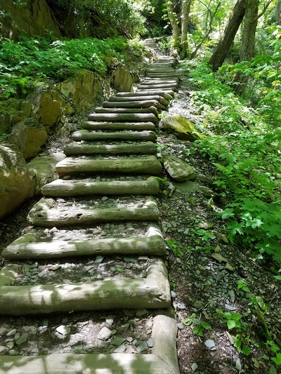 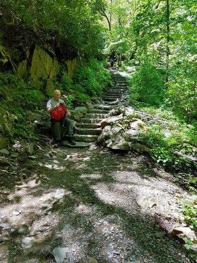 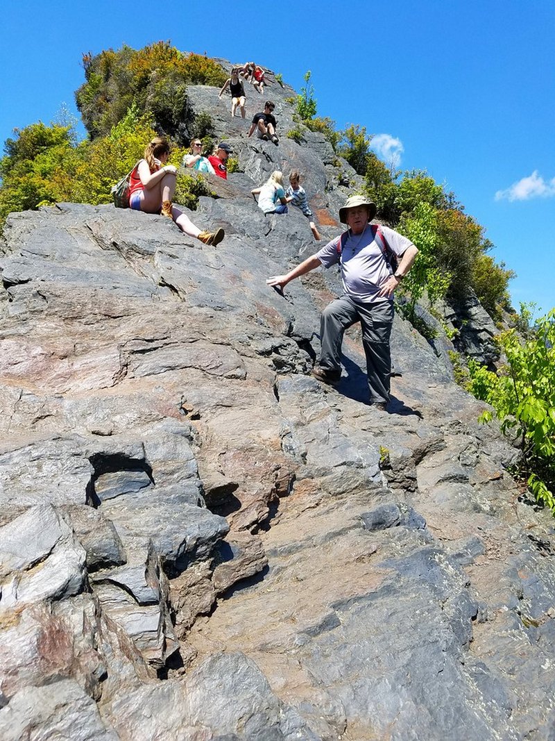 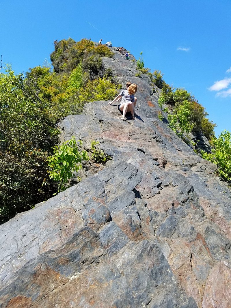 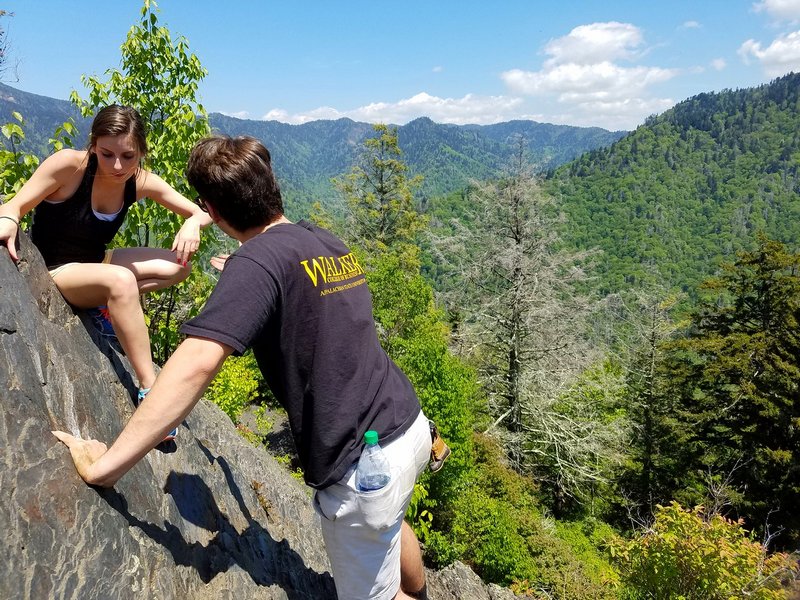   Day 4 - 5-25-16 Today was all about the ride. We knew from our previous trip down this way and more online research that just about every single road in this area is a bikers dream. Curvy twisting snaking streaks of smooth blacktop through the mountains. We began the day heading over to the Tail of the Dragon, a road infamous with all riders. This was our second time here, and while it is still quite a road and demands your full attention, we found it less intimidatingly than last time, and honestly, there are even more fun roads than this in the surrounding area. 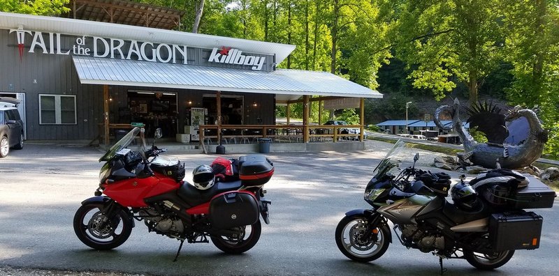 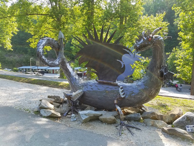 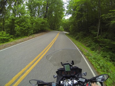 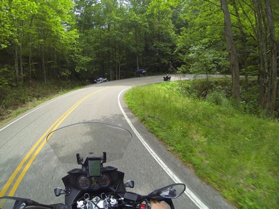 The Dragon is known for having alot of very tight turns packed in a short section of road. 318 curves in 11 miles to be exact. But you also have to be careful of everyone else on the road. Some think its a race track where they have to beat their best time, all while being shared with other vehicles.... like a camper van,,, towing a car,,, stopped in the middle of the road,,, waiting for a duck and her ducklings to cross the road... 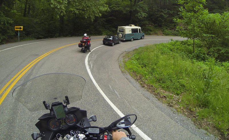 As I said before, the roads in this area are simply fantastic, we could not believe the quality and fun factor of every road we explored. Any section of road that wasn't winding and twisting made up for it with a great view. You could easily spend months seeing the sites and visiting all the small shops around this area. 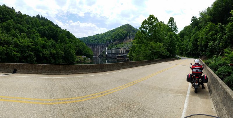 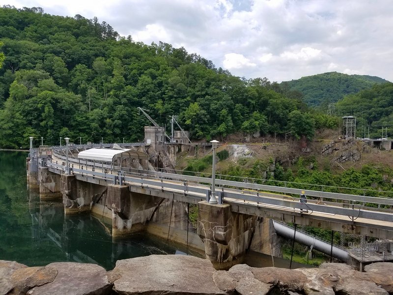 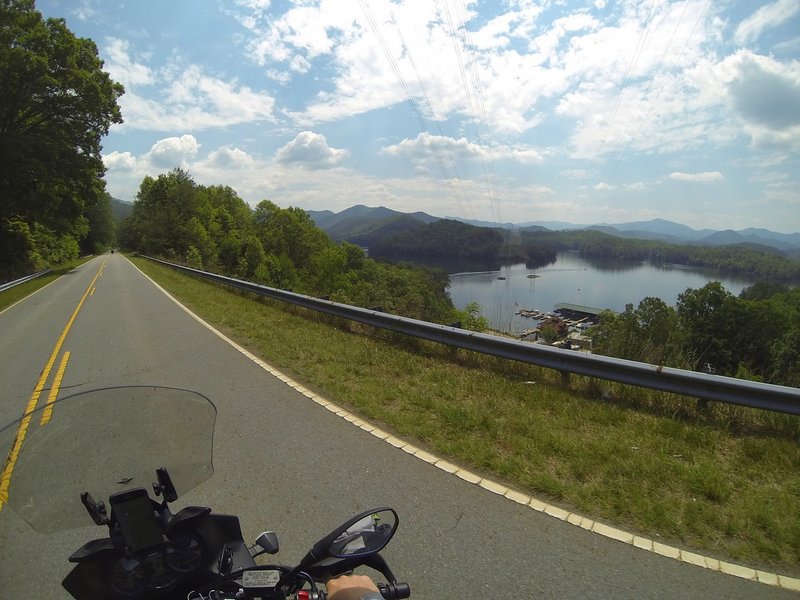 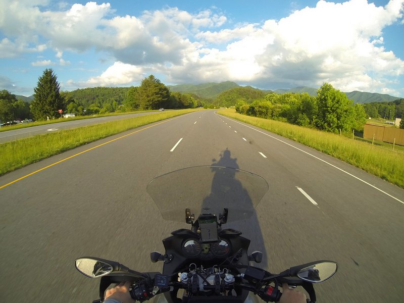 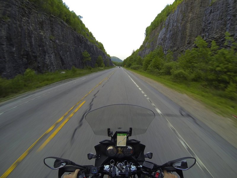 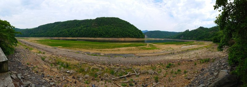 Sticking with our theme of visiting state high points, for GA it was Brasstown Bald at 4,784 feet. We arrived just as the staff or the visitor center was leaving. So the office and main observatory tower at the top were closed, but you could still hike to the top and get on top of the main building for a good view. As good as the scenery was on this entire trip, if we had made it a few weeks later, some areas would have looked like they were from a fairy tail since the rhododendron were very close to blooming. We visited places that had walls of them, both on the trials and on the road. 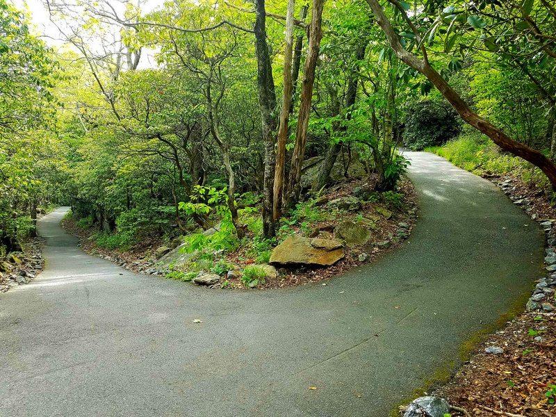 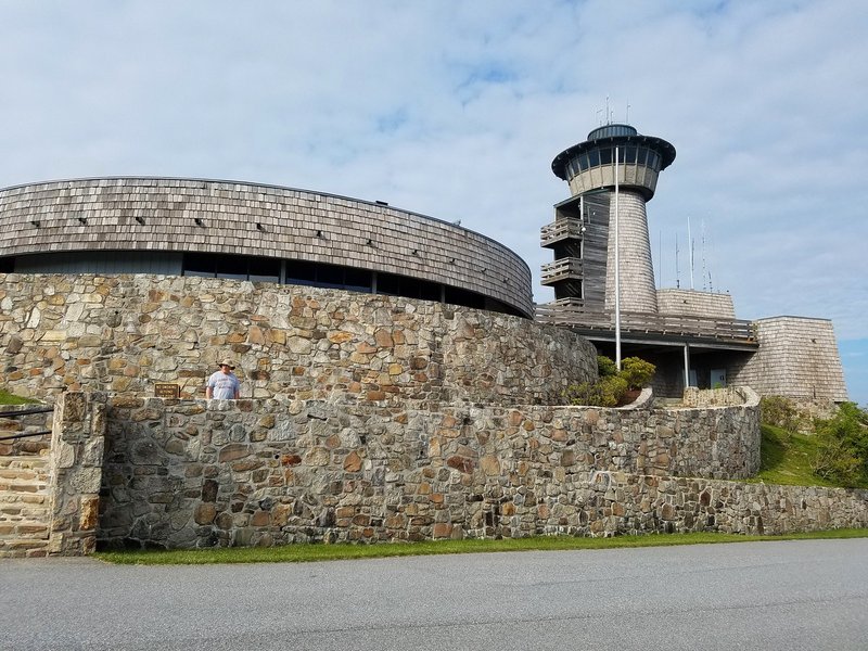 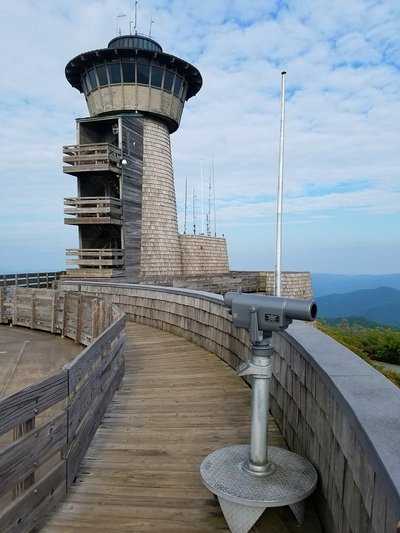 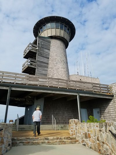 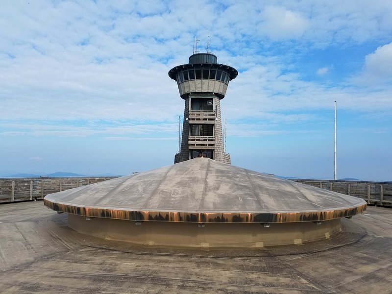 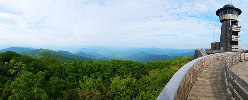 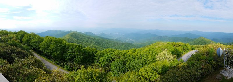 We even saw some local wildlife. 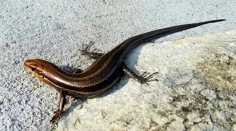 Day 5 - 5-26-16 By this time we had done a good bit of riding and hiking and decided to take it easy today. So today we visited a place I knew I had to see since we were so close, Wheels Through Time Museum. The amount and quality of the items in this place was overwhelming. There are priceless and extremely rare vehicles here, the staff has a wealth of knowledge on everything there, and probably the most impressive part, is that most of the items in the museum are in running condition. They even fire up random bikes throughout the day. This is an absolute must visit for any motor head or motorcycle enthusiast. This is just a sample of what they have, make sure to check out my photo gallery for all the full sized photos. 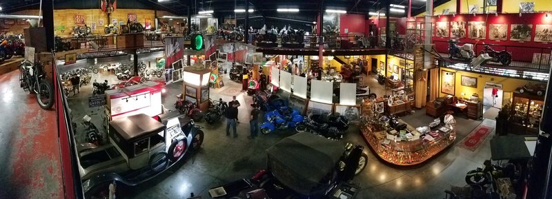 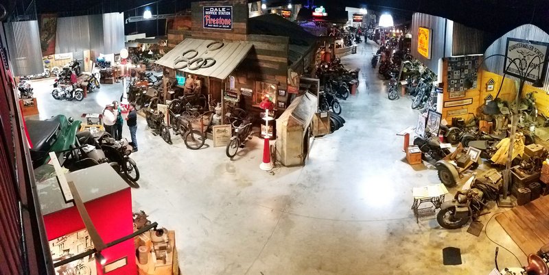 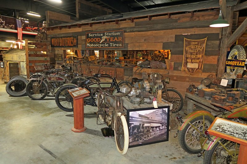 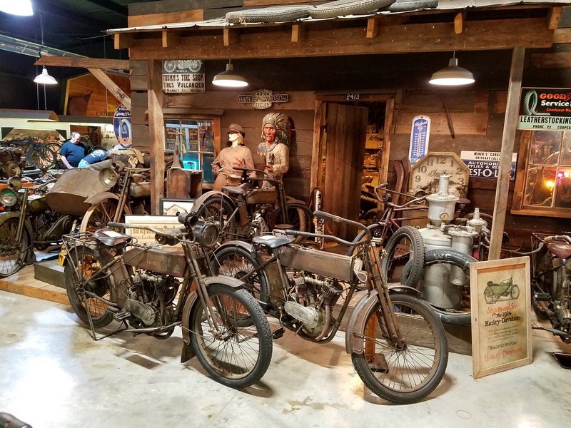 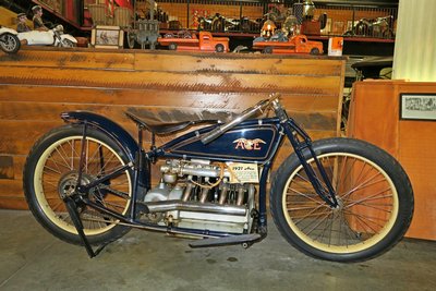 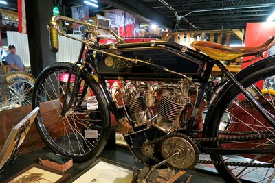 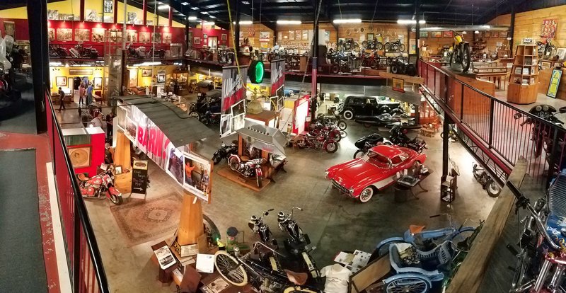 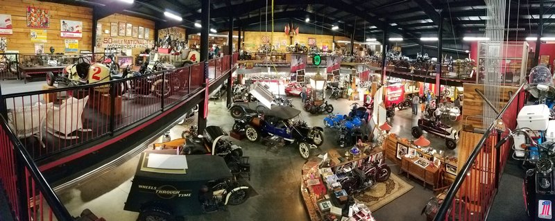 We finished up the day having dinner with Alans cousin since we were in town. Then heading back to camp for the night to think of of excitement we could come up with for tomorrow. Day 6 - 5-27-16 Today would be more good riding on these great roads. Our first stop was at Joyce Kilmer Memorial Forest which is n old growth forest with trees over 400 years old, 20 foot in circumference, and 100 foot tall. Its sad that there aren't more places like this, most forest has been timbered at one time or another. Far as I know, the trees here are the largest and oldest east of the Mississippi. Nothing compared to what they have out west, but still the largest trees I have seen personally. They are impressive to stand by. 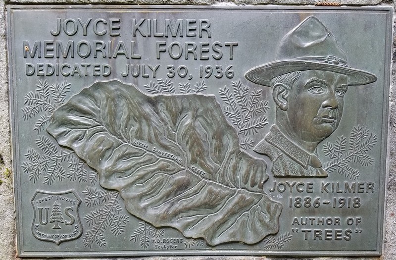 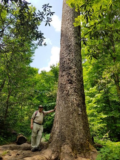 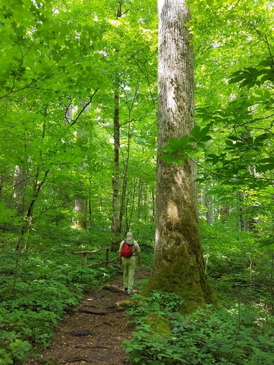 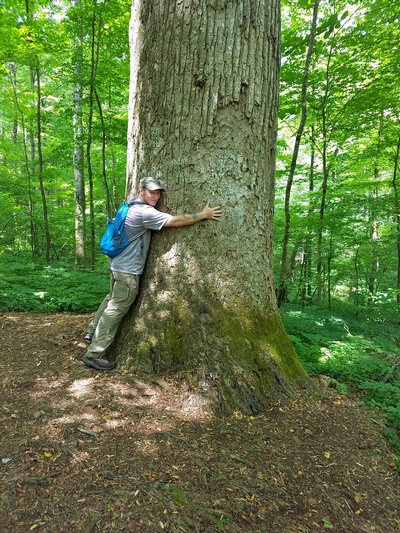 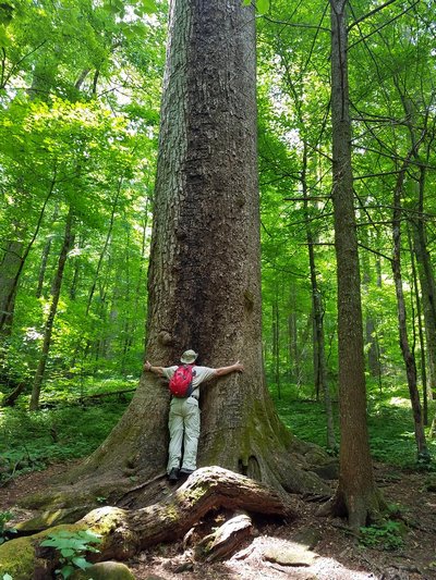 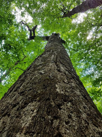 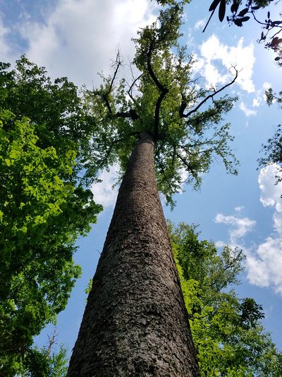 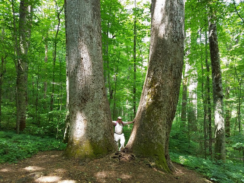 The next stop was Dry Falls. There was actually an even more impressive set of falls on the way to Dry Falls, but I couldn't get any photos of it, there was absolutely no place to pull over or even room to walk along side of the road to see them. The road was very narrow and had a hell of a sheer drop off. 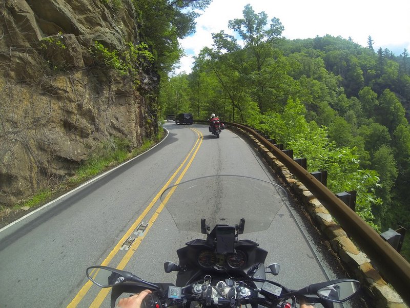 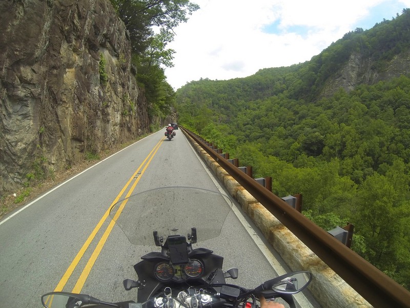 I believe Dry Falls gets its name because you can actually walk behind it and stay dry, well, relatively dry. There is a nice walkway leading down from the parking lot and behind the falls. 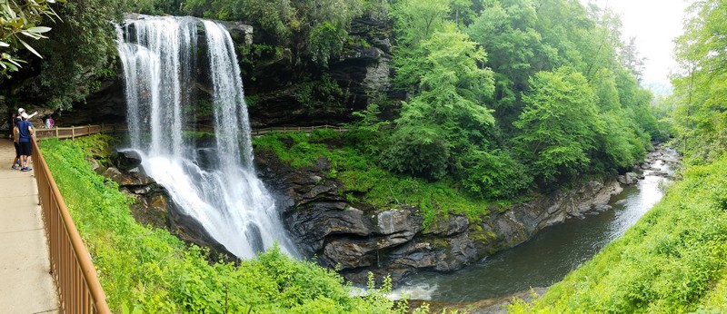 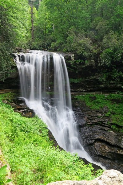 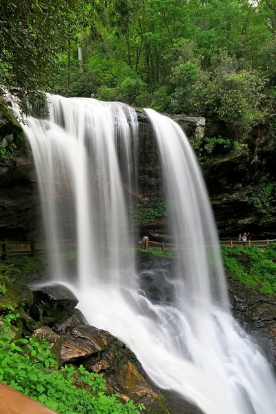 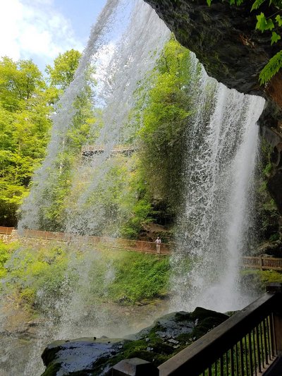 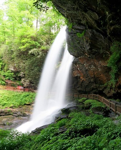 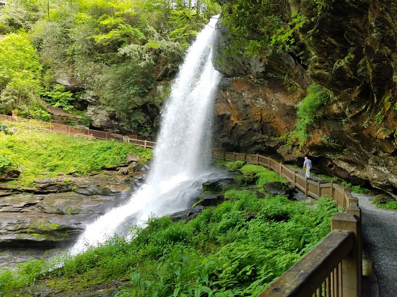 On our way back to camp we snuck in yet another high point. This time for SC, Sassafras Mountain at an elevation of 3,560 feet, and was barely across the SC border. There was a steep paved road that went up the mountain and dead ended in a gravel parking lot. There were no buildings or visitor center, just a walkway to step out on for a view. Little bit of a let down for a states high point, the walkway was almost more impressive than the view. 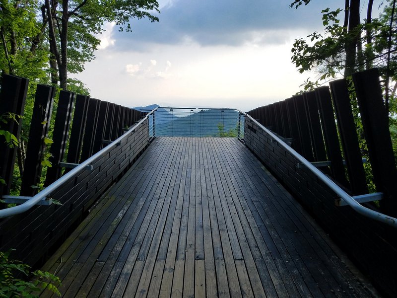 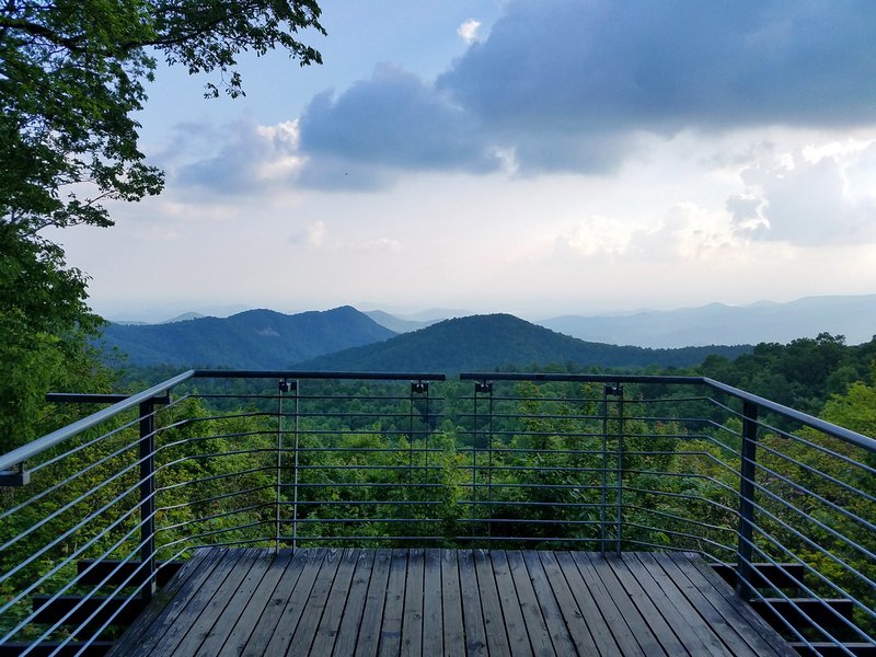 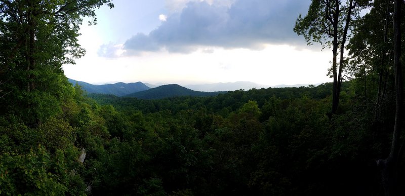 Day 7 - 5-28-16 Today we started on our way back home. We enjoyed the section of the Blue Ridge Parkway so much on our way down that we thought it would be nice to ride all 490+ miles of it on our way back home. Almost all of the parkway is scenic except for a few sections that pass though towns. For the most part you are away from most everything and in the middle of the forest. Make sure to have a full tank of gas and good maps with you. The signs on the parkway are very limited, only letting you know the names of the roads that are connecting to it. You will see no signs for food, gas or lodging. There are at least mile markers. On many parts you may not have cell phone service either. This goes for most of the Smokies. One day we rode over 50 miles without any cell service at all. So don't rely on you phone to look up the nearest waffle house. The parkway also has a speed limit of 45mph on most of it. While you can get away with doing a bit better than that, you will run into many that are doing 20mph as they stare off into the scenic vistas. 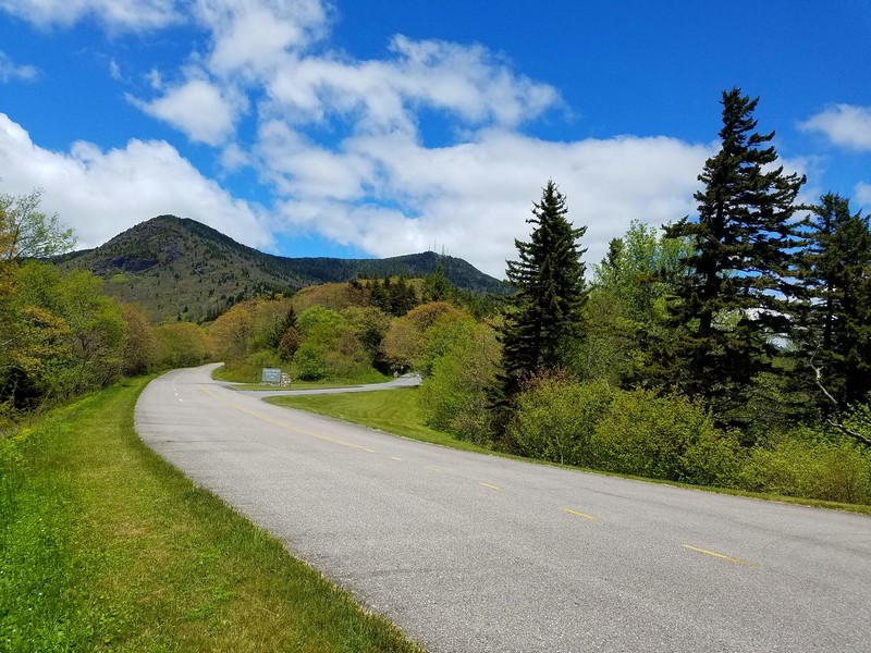 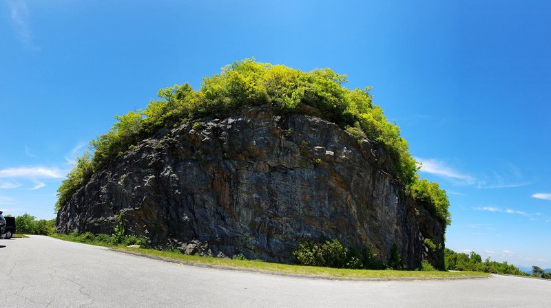 Just a couple of 37 tunnels we passed though on the parkway. Some were really neat looking as you approached them, just holes peaking through the edge of the mountain. 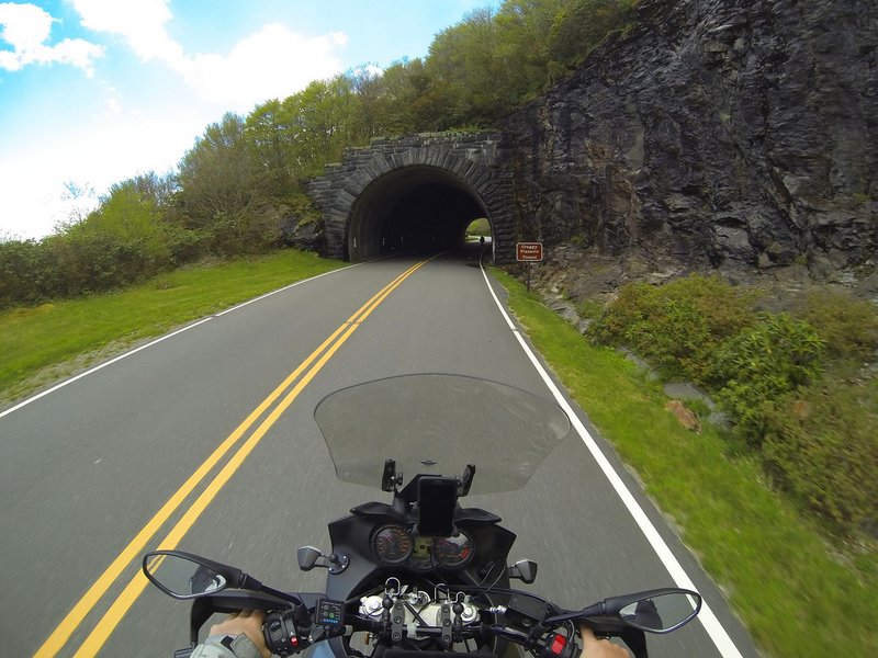 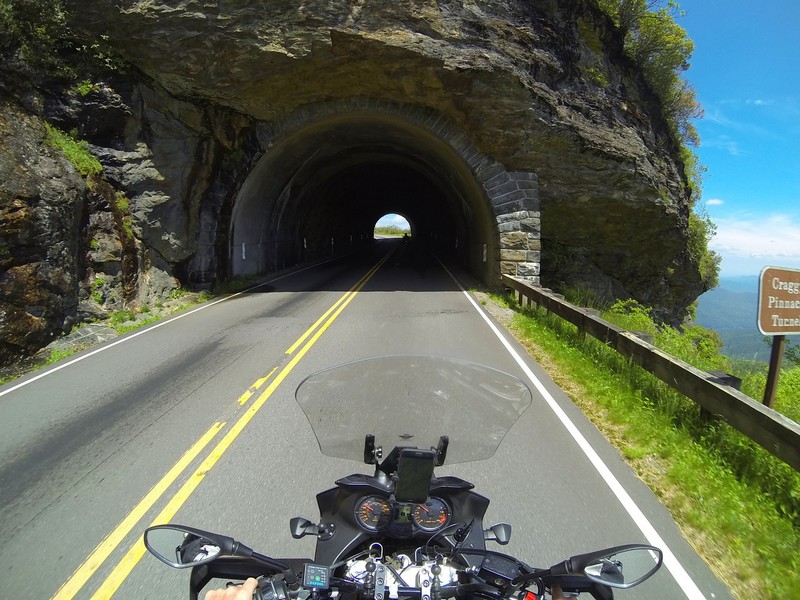 We stopped at a visitor center on the parkway to take a break and see of they had any maps for the parkway. Which they did, I think you can also get them online. They were helpful in our planning and at least seeing how far along we were on the parkway. The visitor center had a short hike up to the summit called Water Rock Knob, we needed to stretch our legs anyway, and I like to torment Alan. The trail to the top and the view from the summit were very nice actually and worth the hike. 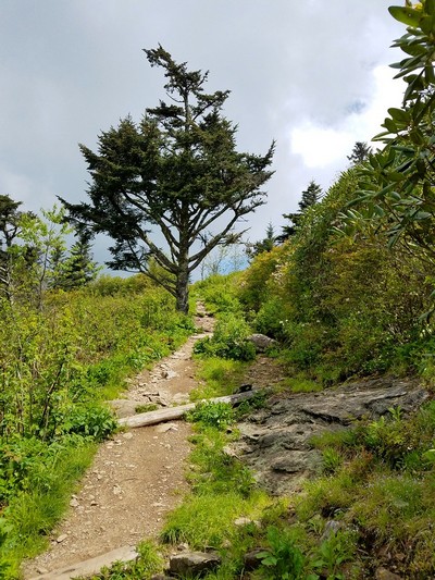 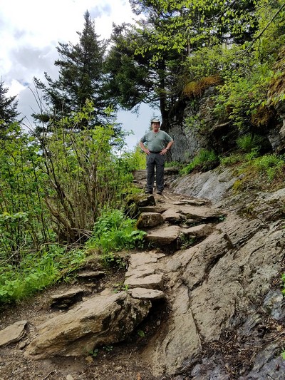 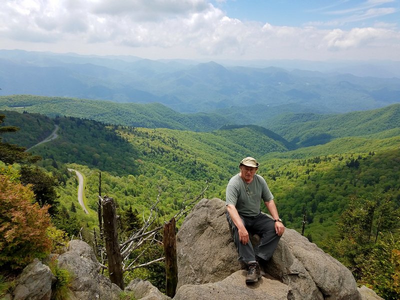 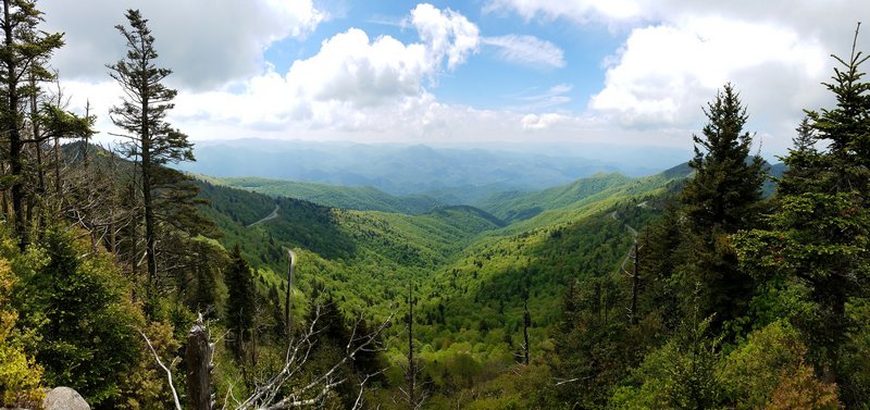 We had hoped to make it at least to the Virginia border by this time, but were running a bit behind. We stopped to get something to eat and luckily i had cell service so I could look up a place to camp for the night. We really lucked out on this really, I found a place called Wild Woodys Campground and Antiques that was just off the parkway. It looked like a pretty interesting place and was very biker friendly. As soon as we pulled into the parking lot I knew we were some place "special" and that we were going to be at the very least quite entertained here. The best way I have come up with to describe this place is, a group of hippies leftover from Woodstock, and joined biker gangs, that ran away to the circus. The entire place is packed with odd signs, old trailers sitting around that you can rent, a bar, and of course the two antique shops. 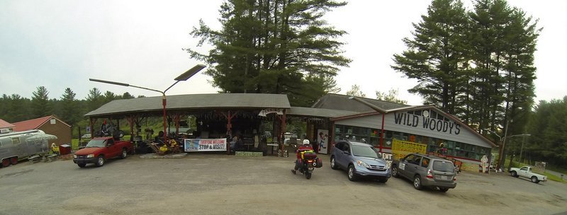  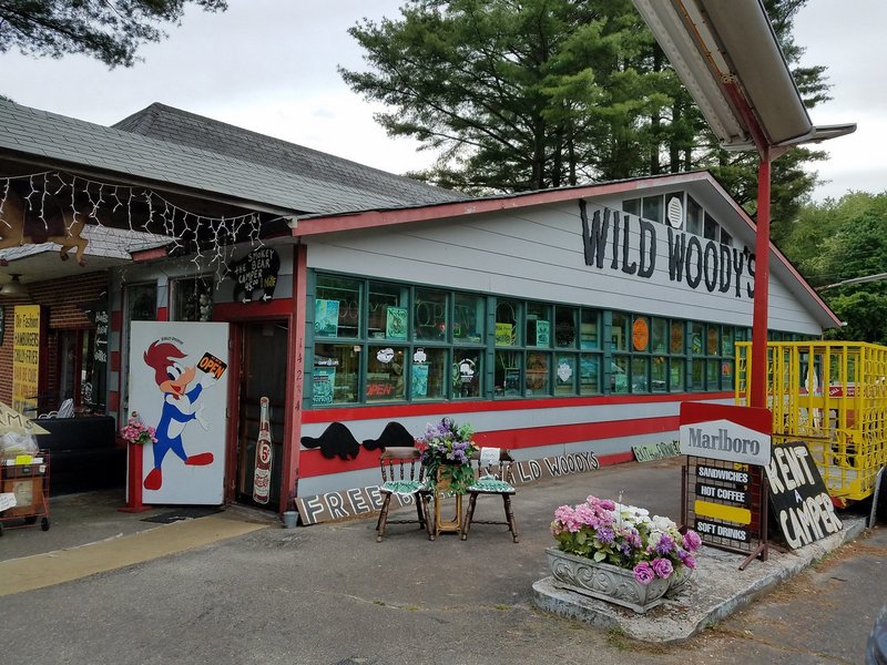 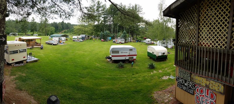 The lady that owns and runs the place is quite the character, everyone there was actually. She told us about the trailers and told us to take a look at them and see which one we would like to rent, and that each had a theme. The Little Zipper, the Crab Shack, Woody the Wood Pecker, Smokey the Bear, etc. We took a look at the Smokey the Bear one and figured it was good enough, we were only staying one night anyway, and it would be nice to not have to bother with setting up our tent. Just to give you an idea of how whacky the place is. When we went to head out of the shop around back to look at the trailers, we weaved our way through the store to where we thought we came in, we found a door but there was a large painted sign on it that read, Do Not Exit. Hmmmm, ok, so we wonder back through the store, lost, and seemingly trapped. We end up back at the same door, and notice several people going in and out, and realize that is in fact the way we are supposed to go, the sign is just there to mess with you! We basically couldn't stop laughing as soon as we got to this place, we pulled down next to our trailer and unloaded some of our gear, we noticed we each had a bear on our beds. I demanded that Alan poss for a photo with them. 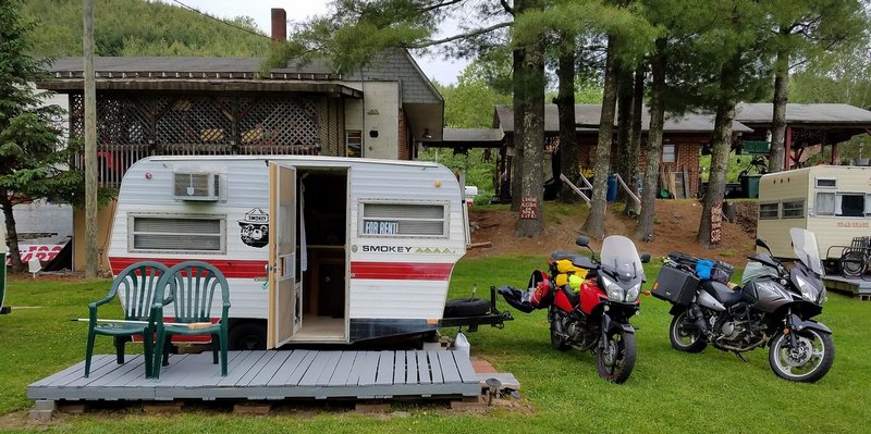 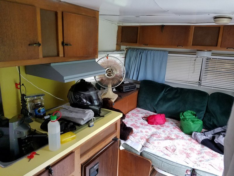 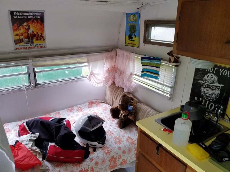 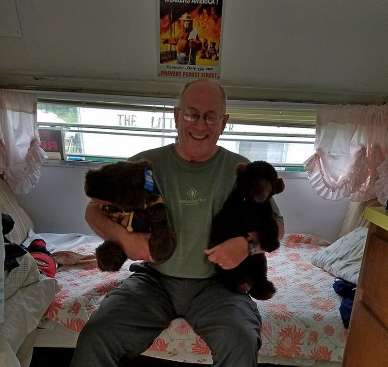 Once we got settled we went back up to take a look at one of her antique shops. We were disappointed that we got there too late to see her main larger shop across the street. But even what we did get to see was indescribable. I loved the vibe the place had, like an old creepy horror film. There was everything from old vases, plates, furniture, dolls, wigs, clothing, signs, movie props, and a very extensive record collection, I think she said it was over 30,000 records. Some of the items had to be priceless. Just some of the old signs and movie posters had to be worth a small fortune. Again, you will have to look at my full photo gallery for the trip for more photos of the place, but here is are a few to give you an idea. 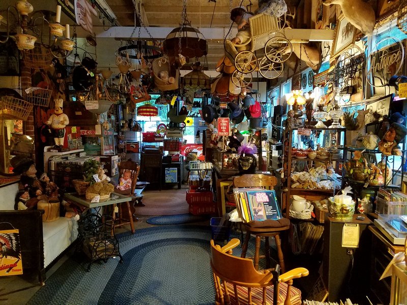 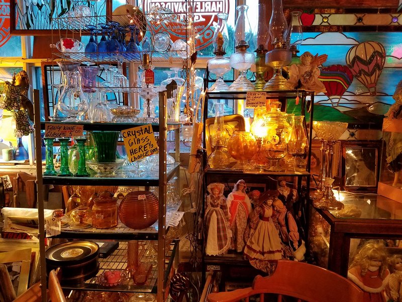 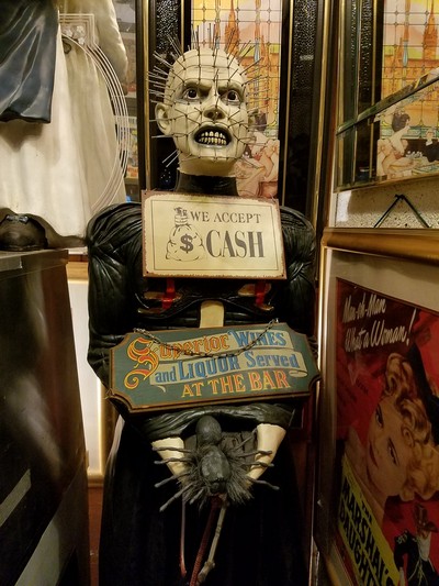  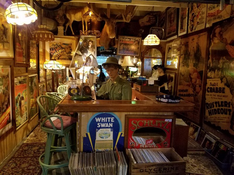 We sat for a while on our trailers porch as night set in. The bar next door was having a cover band for AC/DC playing till about 11pm. After that all the now drunkin bikers and campers wondered over the the campsite and continued the party around the campfire. Yelling, screaming, laughing, blasting music, till almost 4am when finally some other campers had enough and a fight almost broke out as they cursed each other out to shut up.  Day 8 - 5-29-16 The final day was pretty uneventful. We didn't make it as far as we should have the day before, so the final day ended up being almost 14 hours on the hikes and 512 miles. But we did ride all of the Blue Ridge Parkway as we planned, ending the trip with a total of about 2,230 miles. It was certainly one of best trips we have taken. The roads we were on were a blast to ride and we saw some gorgeous scenery along the way. As always I would like to thank Alan for being such a great travel companion and side kick on yet another fantastic adventure. Stay tuned for our next trip! |
||
|
|
||